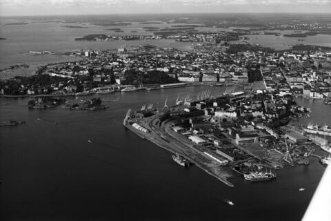
Aerial photo of the tip of Katajanokka, 1970. Oblique aerial photograph of Kruunuvuorenselkä, to the southwest on the eastern tip of Katajanokka, taken from a small plane. Katajanokka on the right. On the left, Luoto and Valkosaari, as well as Kaivopuisto Park, Eteläsatama in the middle, Kaartinkaupunki as well as parts of Kruununhaka and Kluuvi on the right.